I. Aerial films
Dartmouth Now has posted a video of a campus flyover taken from a helicopter. While most aerial photos look from south to north, this video skirts the northern and eastern edges of the campus. Things look different from this new perspective:
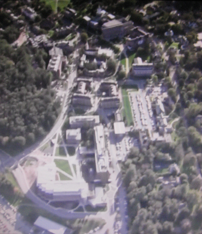
See also the helmet cam video of a parachutist landing at Memorial Field to start the Columbia game on October 22 (via the Big Green Alert blog).
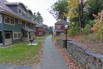
II. Street View: Paths and Passages
Google has added the results of a sortie by one of its human-powered tricycles to its visual representation of Dartmouth’s campus. At least one trike visited about a year ago. Here is the view from the center of the Green.
The tricyclist took a curious detour to the rear of the NAD House and traversed the bridge to McCulloch Hall. He managed to ride under the Bildner Hall portico, onto the running track at Memorial Field, through the Hood Museum gateways, and along Mass Row.
Who knew that this little village lane meandered around the back side of College Park?
The rider’s reflection appears in the windows of the Berry Sports Center and the MacLean ESC. When he stands up to pedal up the hill north of the McLaughlin Cluster, you can see his helmet, and the camera has a brush with some tree branches along Maynard Street.
[02.25.2012 update: See also the articles by Susan J. Boutwell, “Dartmouth Among First Schools Showcased in Google Maps Feature,” Dartmouth Now (January 11, 2012) and in The Graduate Forum (January 17, 2012).]